Shooting the Bonneville Salt Flats at Sunset: A Field Guide
I had a spare evening in Salt Lake City after wrapping a FAM trip with Southwest Adventure Tours to Antelope Island, so I did what I always do with an open night: I chased light.
Four cameras, one drone, gusts strong enough to threaten a tripod, and a sky that finally cracked open at 9:23pm. Here is exactly how I shot the Bonneville Salt Flats, and how you can too. * Note * This article contains affiliate links from which the author may earn a commission. You don’t have to click on them or purchase anything, but if you do, it really goes a long way to helping support this site.
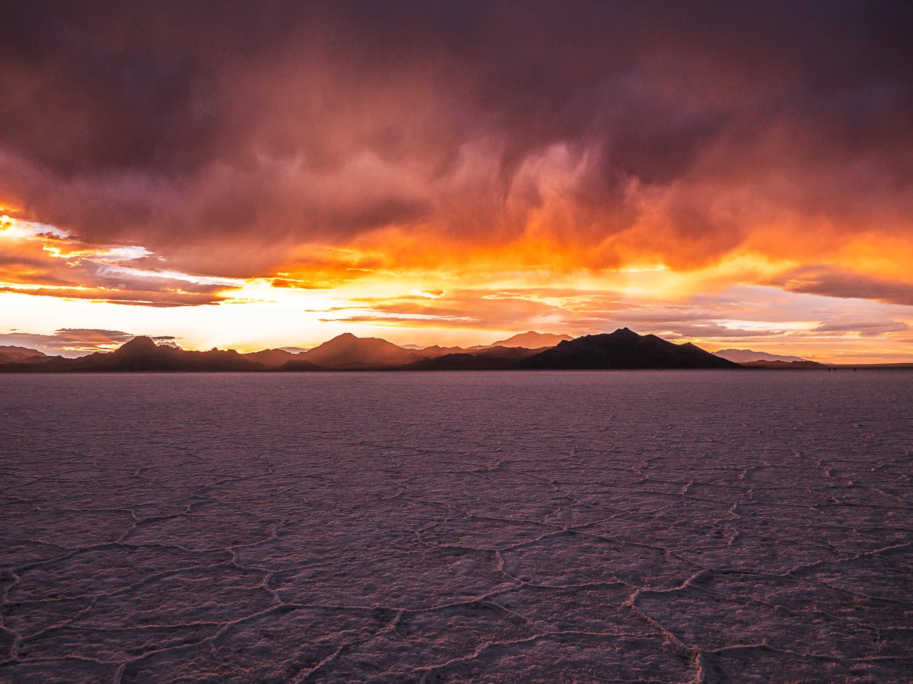
Bonneville Salt Flats by Christian Cornejo. Photographed June 26, 2026 on the OM System OM-3.
How I ended up on the Salt Flats:
I had a spare evening in Salt Lake City after wrapping a FAM trip with Southwest Adventure Tours to Antelope Island, so I did what I always do with an open night: I chased the light.
I picked up a rental at the Hertz counter at SLC airport. My Founders card gets me President's Circle status and around 20 percent off, which means I skip the line, walk straight to the President's Circle row, and take the keys to whatever I want. I grabbed an AWD Nissan SUV and pointed it west on I-80 towards the flats.
Wildfires were burning across Utah that week. The whole valley was hazy and grey, air quality was poor, and the light was doing strange things through the smoke. My original plan was to hit up the Bonneville Speedway road, but Google said it was closed, so I pivoted to the Salt Flats Rest Area on the westbound side of I-80.
Do not sleep on this rest area. It is a fully operational stop with restrooms, vending machines, a covered picnic structure, and paved parking for both cars and trucks. More important, it has direct access to the salt through a concrete entryway marked by a large bronze plaque that reads "Welcome to the Bonneville Salt Flats." Park, walk through, and you are standing on it. Just know that there is a lot of foot traffic at this stop as a lot of people use it to access the salt flats.
The drive should take you about an hour and half from the airport, but I hit high wind gusts the whole way so I took it slow and made it in an hour and 50 minutes. The last stretch ran me straight through a moving wall of wind, salt, dust, and rain. I stepped onto the flats at 8:41pm. Sunset was set for 9:11pm.
The conditions I actually faced:
The flats were bone dry. Most of the West is in a drought, so I was not expecting the mirror-flooded version you see all over Instagram. Besides, this was summer, and that typically happens in Winter and early Spring. What I got instead was rough, cracked salt with those signature hexagon lines running out toward the mountains, sharp enough that my main worry was the crust damaging my gear.
The wind was also really strong. It came in gusts strong enough that I was genuinely afraid it would knock my tripod over, so I made the executive decision to just shoot the entire evening handheld. The wind also caused the temperature to drop hard. I had been wearing a black t-shirt, my fundamental shorts from Fabletics, hiking socks from Darn Tough, and my trusty Gt-2000 Asics (which are now on sale btw). So I was thankful to be able to reach in my bag for my trusty North Face fleece. Pack & bring layers.
Above me, the sky was dark and heavy, the kind that looks like it is only a matter of time before it bursts. But looking west toward the mountains, there was a clean band of clearing sitting below the clouds and above the peaks, right where the sun would set. I was hoping the sun would drop into that gap and throw color and refraction up onto the underside of the storm.
When I arrived there were several groups out on the salt, including photographers running model shoots. Then the rain started. It was not a downpour, but it was enough to send everyone packing fast, even with sunset still unfolding. I laid my zipped backpack on my Granogi mat, kept the weather-sealed OM-3 in hand, and stayed. The rain passed. By then I was the only person left out there.
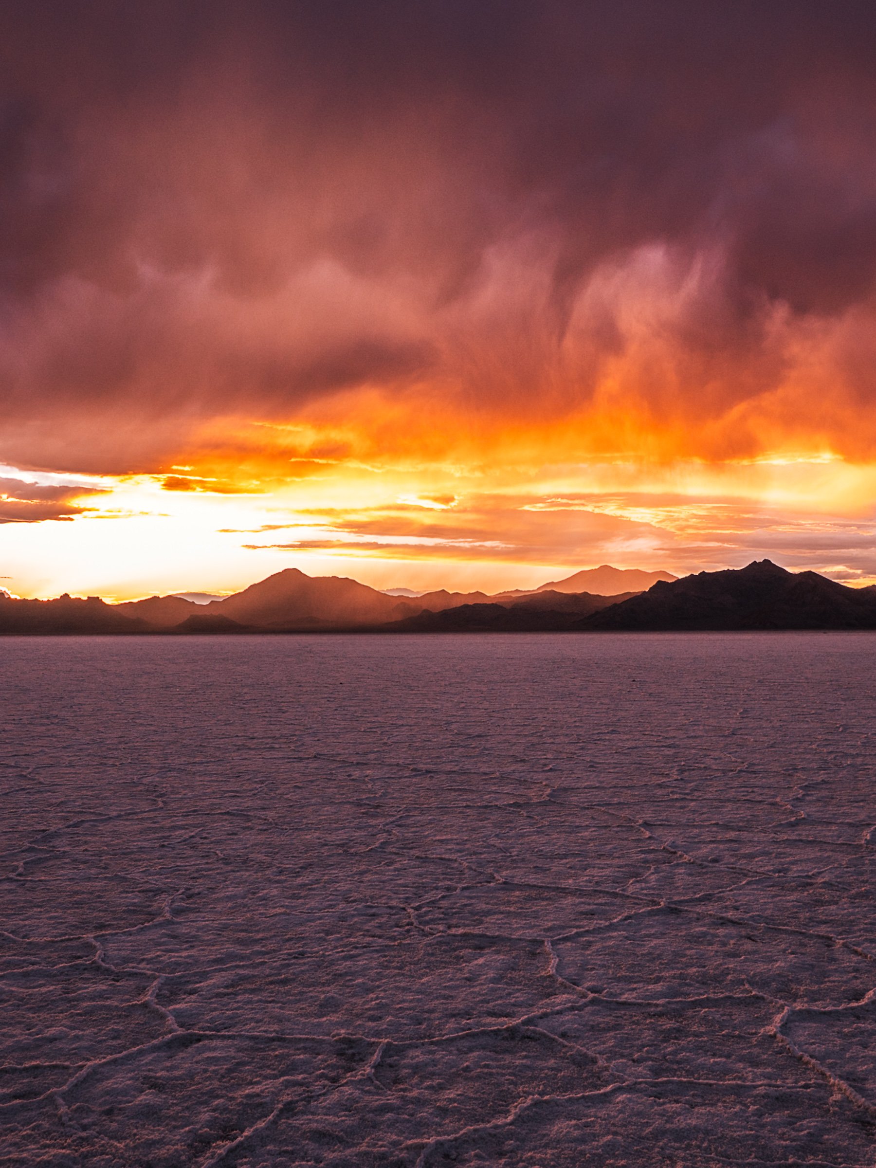
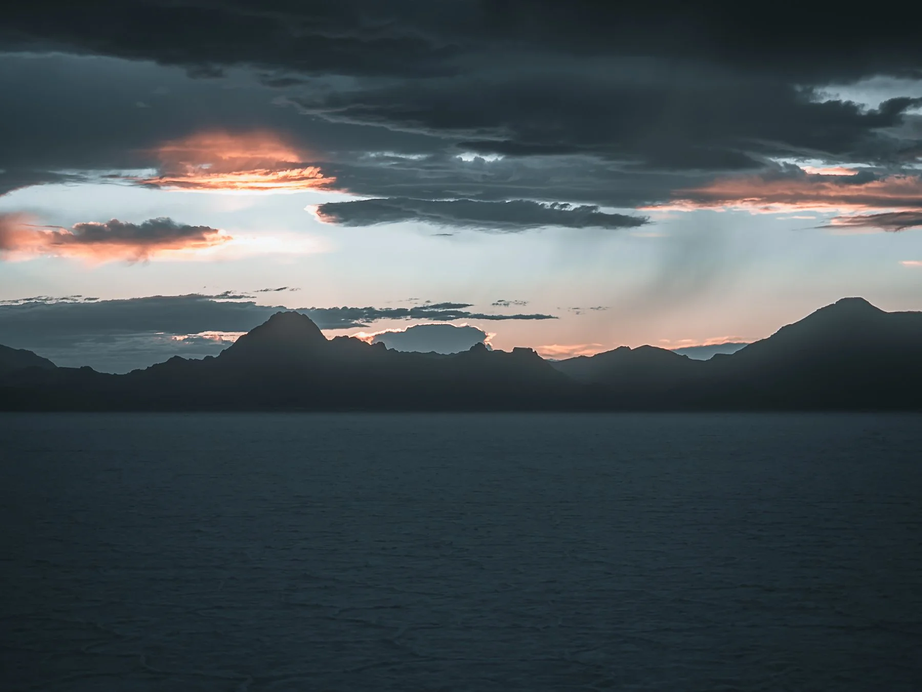
By 9:23pm the sky looked exactly like the rotated panorama in the set: dark and cloudy up top, with a burning band of color pinned along the horizon. By 9:49pm it was nearly black, dark enough that my drone could not find the ground to land. More on that below.
What I captured:
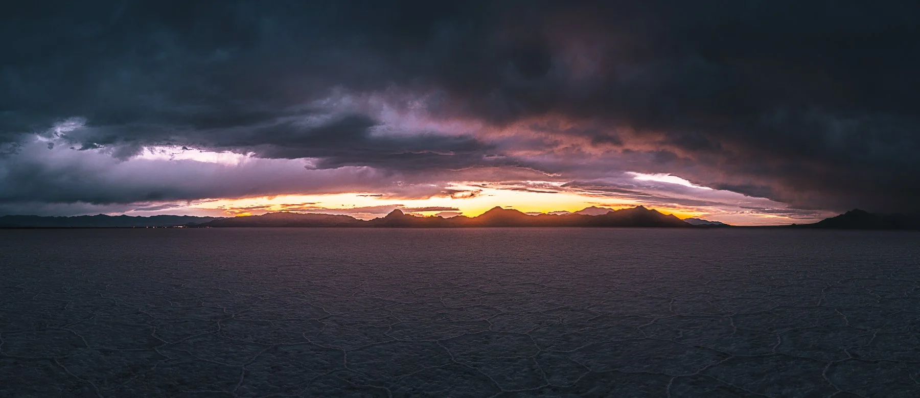
6 Image Panorama taken with the OM System OM-3 by Christian Cornejo
Here is a fun confession for the "trust the process" file: I originally drove out to shoot stars & test out the OM-3’s Starry Sky Auto-Focus. The iPhone’s weather app promised clear skies. The iPhone’s weather app lied. Conditions forced me to pivot to sunset only, and the sky more than made up for it. I did not quite land the refraction I was chasing, but I walked away with an epic sunset instead.
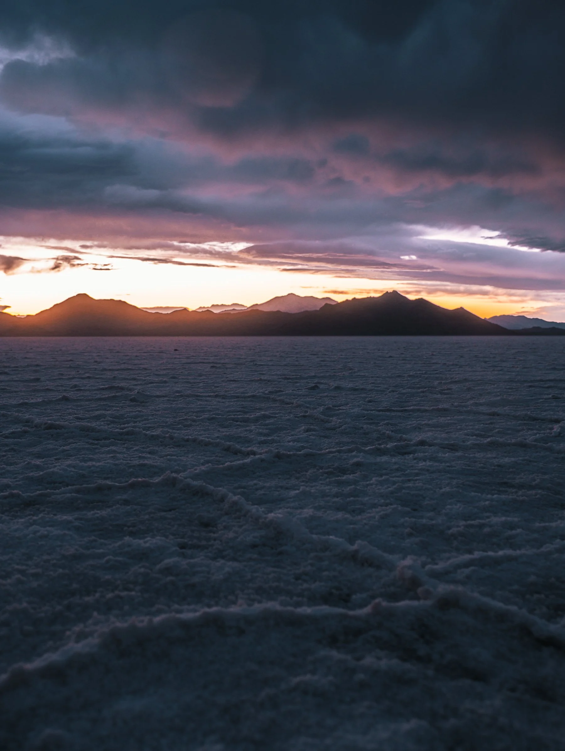
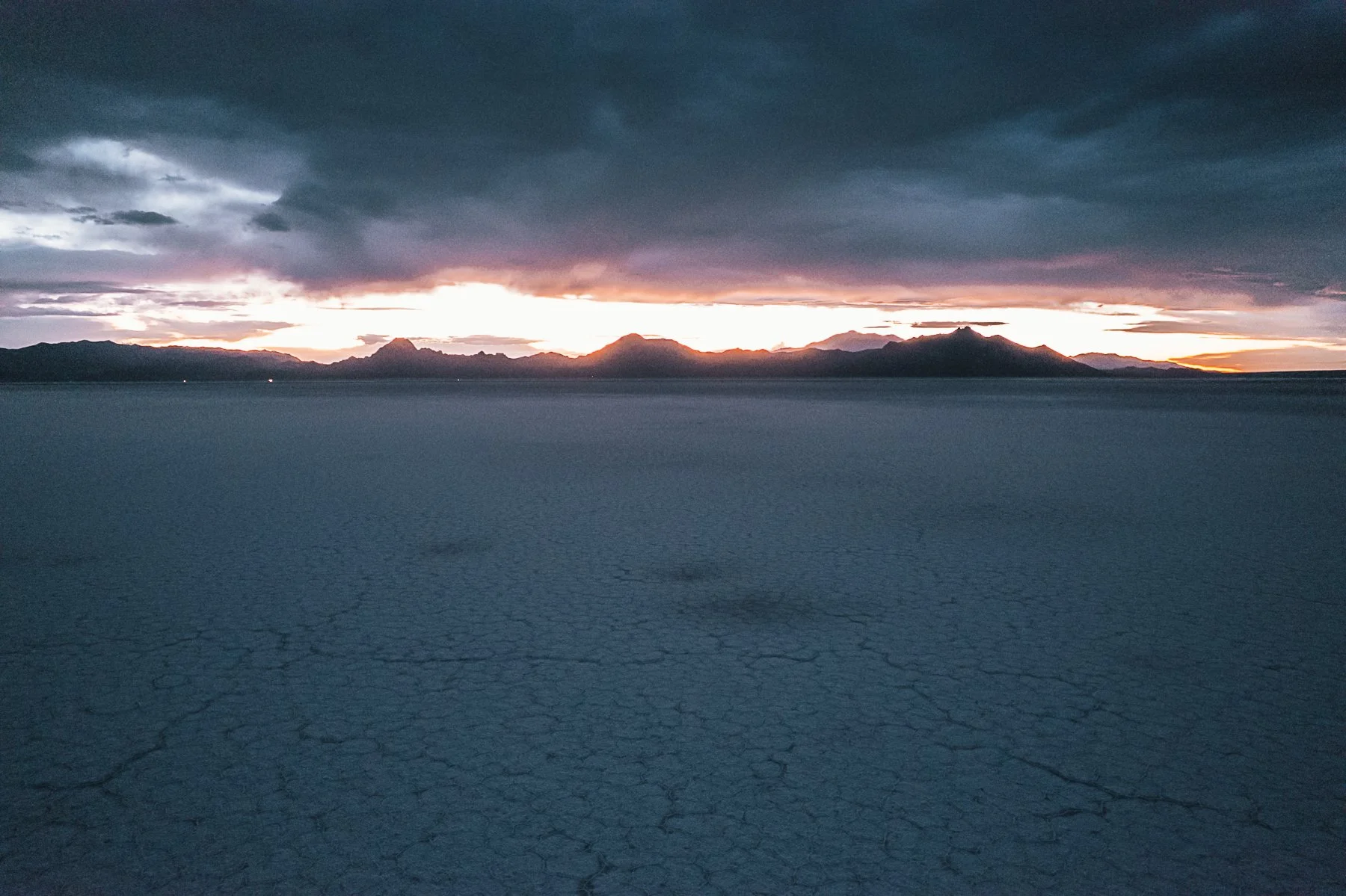
Most of my compositions used a wide angle to pull those cracked salt lines through the foreground with the mountains and sunset behind. I worked the changing light for a full set of frames as the color shifted minute to minute. And when the rain finally stopped, I sent the drone up into the last of the light and captured a few aerials where I appear as a single speck against the scale of the flats. That sense of scale is the shot only an aerial gives you.
Exact gear and settings:
Here is the part worth saving for all my fellow gear heads. For the images in this blog, I used three cameras: the OM System OM-3, my old trusty DJI Air 2s, and my iPhone 17 Pro, but I had four total cameras with me as I also had my Olympus EM-1 Mark II as a backup.
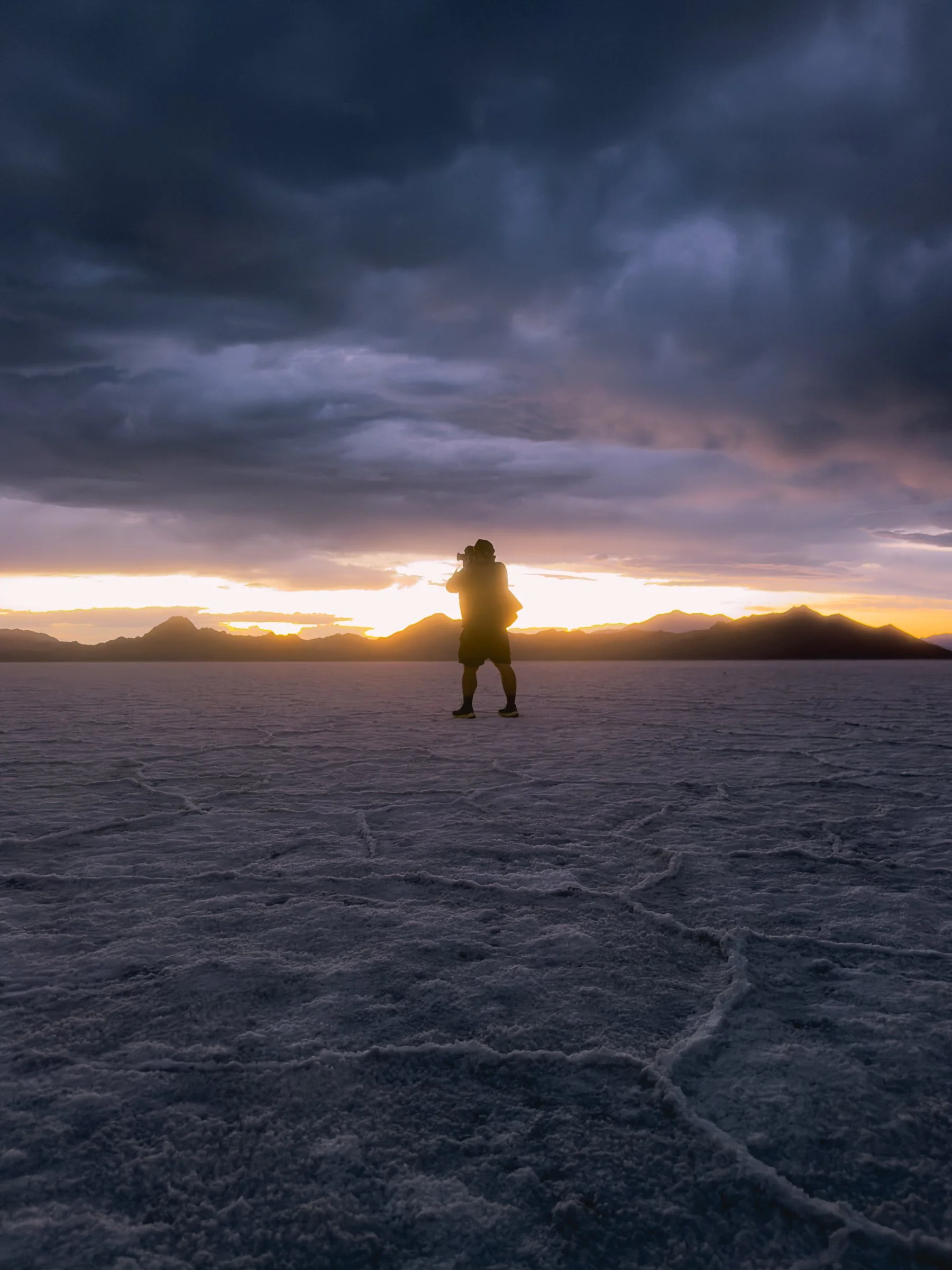
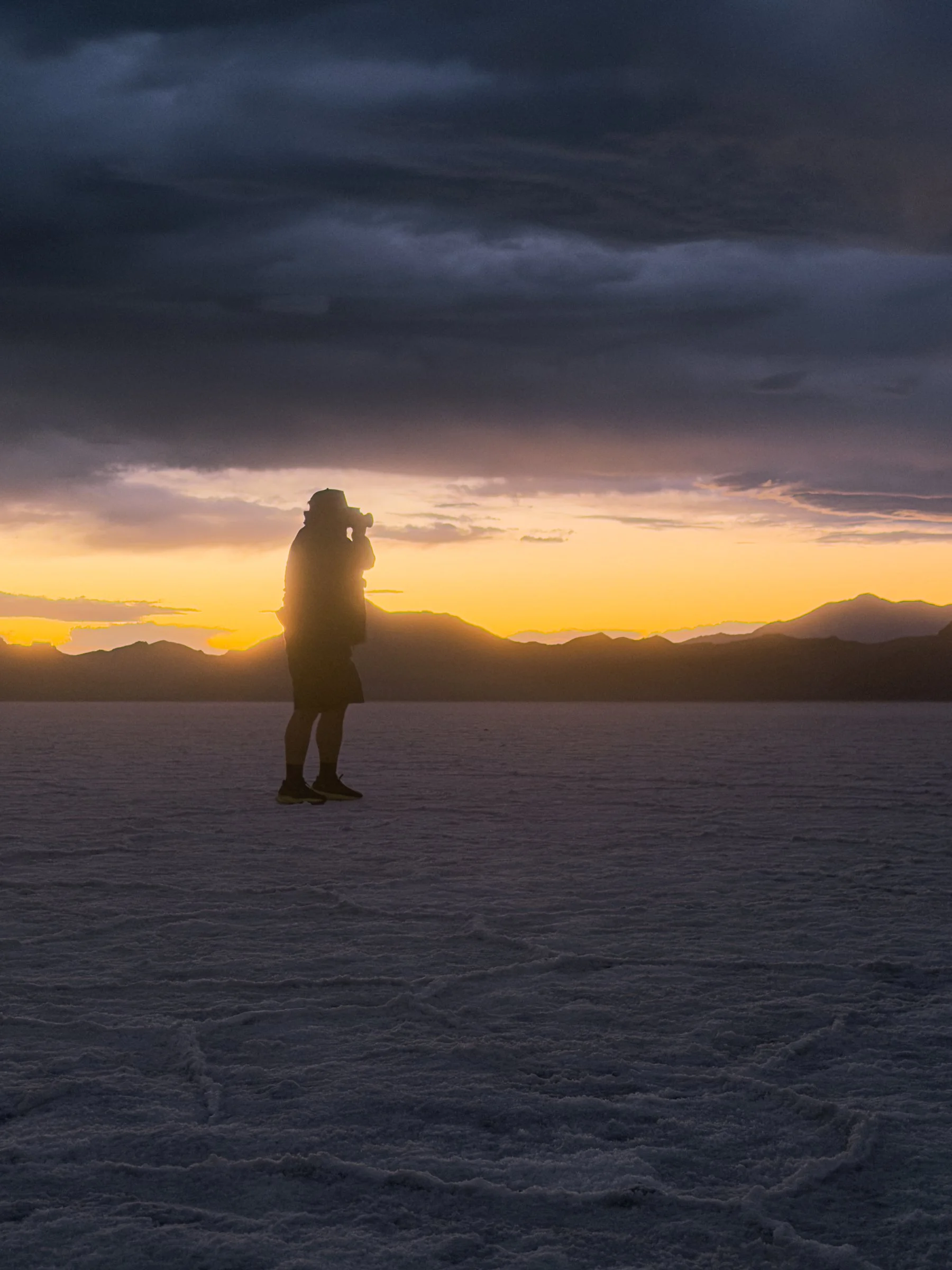
The iPhone handled video and two hero stills, both silhouettes of me holding the OM-3 with the sky going off behind me. I use the Freewell iPhone Pro hybrid filter kit on my phone, and for those frames I had the glow mist filter stacked with the ND and polarizer combo. That glow mist filter is what gives the shot its halation, the soft golden bloom wrapping the silhouette. It is fully in-camera. None of that glow is added in editing.
All images taken on the OM System OM-3 were shot handheld, base ISO wherever the light allowed, aperture held at f3.5 for a balance of sharpness and shutter speed in the wind. The burning sky frame that I used as the cover for this blog was taken on the OM-3, using the M.Zuiko 7-14mm f2.8 Pro at 1/100 sec, f3.5, and ISO 200.
After switching lenses on the OM-3 to the M.Zuiko 12-40mm f2.8 Pro, I equipped that lens with the PolarPro GoldStache gold mist filter for that saucy warm golden halation. This was my first time using this filter as I had just bought it over at Pictureline in Salt Lake City.
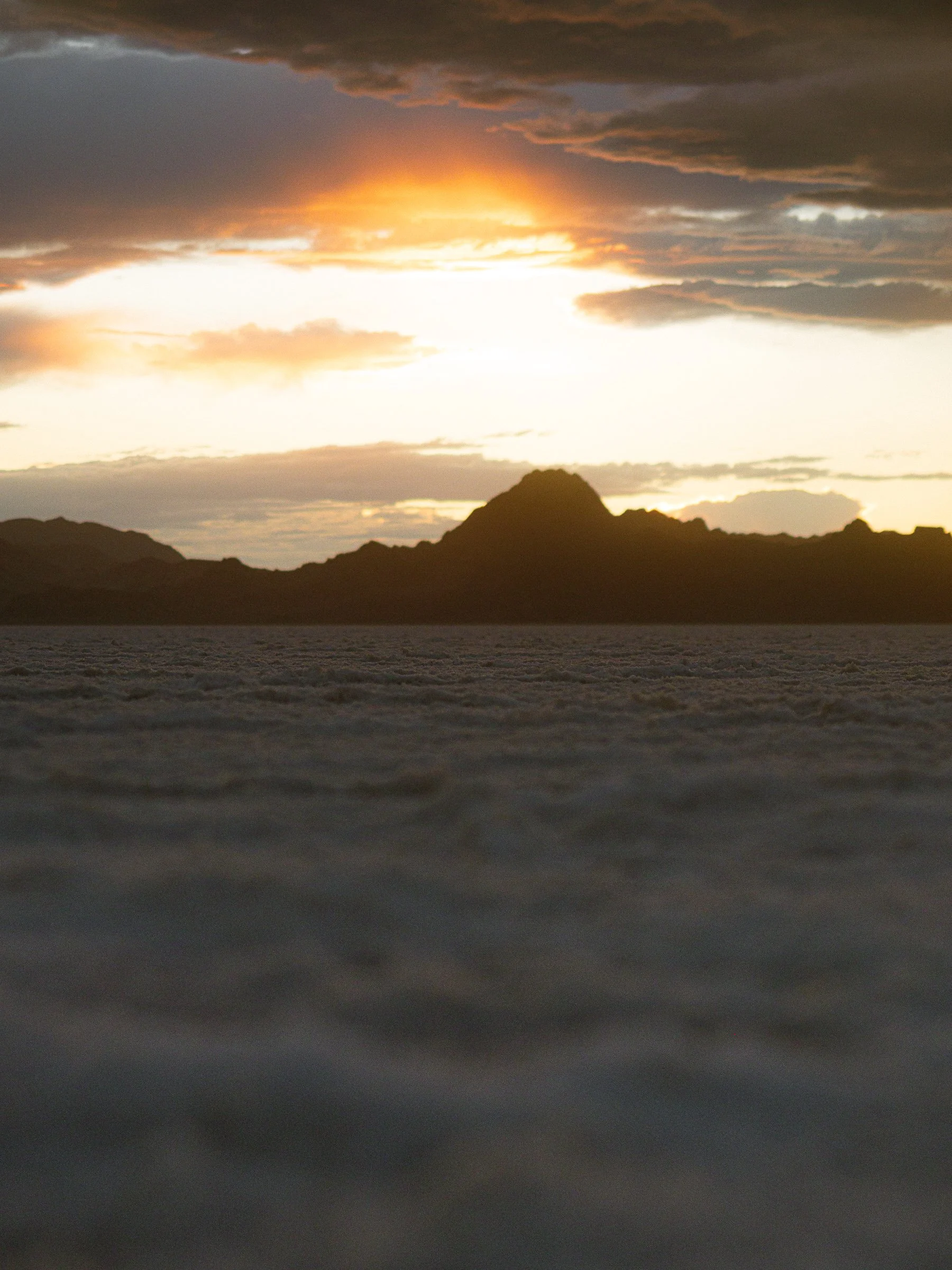
The panorama (shot at 9:23pm) is a multi shot stitch of images taken on the OM-3 with the same 12-40mm f2.8 and GoldStache filter combo. Shot at 12mm at 1/15 sec, f3.5, and ISO 200. As the light died (9:25pm), I used the same combination, dropped to 1/60th of a sec, f3.5, ISO 200, but at 30 mm to get the depth shot with the salt elements on the ground.
Drone aerials, where taken on the DJI Air 2S, no filter as it was already dark. I used the 5-shot auto-exposure bracket blend feature to try and maximize the dynamic range. I started at 1/15 sec, f2.8, ISO 1600, and let the drone work its magic. I then combined in Lightroom.
Two notes worth repeating. First, the glow on the OM-3 frames comes from the PolarPro GoldStache gold mist, the same look I built into the iPhone footage with the Freewell glow mist. They’re both ¼ mists, which allows for matching diffusion across cameras. This is what makes a multi-camera set feel like one cohesive story. Second, when you’re shooting at 1/6 of a second handheld, you are living on the grace of your camera’s in-body stabilization. Thankfully, OM System cameras have some of the best in-body stabilization in the game.
Protecting your gear from the salt:
Because the salt was dry, I did not have to fight corrosion the way you would on a wet, briny flat. My real concern was abrasion, that rough crust scratching bodies and lenses.
My main tool was my Granogi mat, a half-size outdoor yoga mat I learned about at the Travel Goods Show in Salt Lake City when I met Eric, Co-Founder & CEO of Granogi. I do not do yoga, but the second I saw it, I instantly saw how this product could be helpful for photographers and creators like myself. Whenever I’m out creating, I am always setting my backpack down on dirt, salt, and wet ground (sometimes a combination of the three), and this gave me a clean, protected surface anywhere. Everything stayed in the pack on the mat until it was time to shoot, and I kept lens cloths handy for quick wipes. You can learn more about the mat itself at Granogi.com. Sad postscript: someone liked mine so much they yanked it off my pack while I was traveling home. The last I saw it was at the rest stop. Pour one out.
When the rain came, the drone was already packed and the only thing I kept out was the OM-3 with its weather-sealed Pro lenses. That is the whole point of the system. Without OM System's top-tier IP53 weather sealing, I would have packed up with everyone else and captured nothing. The sealing is the reason I have these frames at all.
Flying it legally, the Part 107 way:
This is where certification earns its keep. Airspace directly over the Bonneville Salt Flats is primarily Class G, uncontrolled, from the surface up to but not including 700 feet AGL (above ground level), where it transitions to Class E.
Before every flight, I check the FAA-approved B4UFLY app from Aloft, which tells you the airspace and any restrictions for your exact location. Do not rely on the DJI app for this. The DJI app does not carry full airspace information and can walk you straight into controlled airspace and heavy FAA fines. Because the salt flats sit in uncontrolled airspace, I did not need a LAANC authorization for this flight.
Flying at night legally means running anti-collision strobe lights visible for three statute miles. Mine face outward and up, by design, so other aircraft can see the drone. What they do not do is light the ground. So when I tried to land in near-total darkness, the downward sensors could not see the surface, and I think launching from my hand rather than the ground added to the confusion. The drone simply refused to descend below about 30 feet.
The move here is to stay calm. With the battery draining fast, I calmly packed up and hiked back toward the lit concrete of the rest stop, found a spot away from people, and forced a landing where the sensors could finally read the ground. It touched down with 4 percent battery. Panic is what turns a sensor hiccup into a crashed drone. A certified, insured, current pilot plans for the out and takes it.
Plan your own Bonneville shoot:
A few things to know before you go…
Bring layers. The wind can drop the felt temperature fast even on a warm evening. Bring comfortable shoes you do not mind getting salty, and pack snacks and water. I had solid cell service the whole time, so navigation and weather checks were not an issue... even though the damn weather app lied to me.
Entry is free from the Salt Flats Rest Area on the westbound side of I-80. It is popular, so expect other groups, especially around sunset. If your plan is the Bonneville Speedway or racecourse, check if that road is open before you commit, because when I went it was closed and I had to reroute to the rest area.
What would I do differently? Honestly, not much went wrong that better weather would not have fixed. The one lesson I am carrying forward is the night landing. Next time, the drone comes down before it gets that dark, or I make sure to have a strong enough light to light up somewhere the sensors can read.
Come along on the next one
This is what a spare evening looks like when you chase the light instead of the plan. If you want the settings, the stories, and the exact spots from the next adventure before anyone else, join the email list below and follow along. The next sky is already out there waiting.
About the author
Christian Cornejo is a travel and adventure photographer, FAA Part 107 certified drone pilot, and the founder of CSW Media. He shoots worldwide with a Latin America edge, pairs a JD/MBA with a loaded camera bag, and specializes in the certified, insured aerial work most creators cannot legally get. See more of the work at chrisseesworld.com, follow the adventures at @chrisseesworld, and connect with him on LinkedIn.